 Boyd Path /Road is one of the abandoned trails we had sought out. It starts from Rte. 198 as a park service road that leads to their firing range and then, for a short distance, becomes a disused road which ends as you approach the trees. At this point you have to look for the trail among the trees but once found it's easy to follow until you reach the junction with the Pond Trail. Here it's very wet because of beaver activity but the trail does continue, with a little search, until it swings out onto the carriage road. It appears that the old trail is overlaid with the carriage road now. We walked to the end of Bubble Pond and then took the carriage road to the Hunters Brook rail and that back to the loop road and up the embankment to 198 and our car.
These small plants look like miniature pines but today I noticed buds that indicate it's not a pine.


Some of the beaver work

Bubble Pond

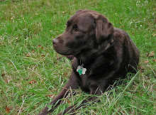
Which Kelley thought was just great.

A nice hike and Kelley seems to be moving better. 2 1/2 hours
No comments:
Post a Comment
If you do not have a Google account the easiest way to post a comment is to use anonymous and then, if you wish, put your name in the body of your