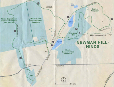
 This is part of the Orono Land Trust holdings. I was told that the trails were complicated and the maps were inaccurate but the easiest was to start out down Taylor Road by the bait pond, which we did.We followed the road until it turned into the Veazie RR bed-a very pleasant section.

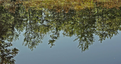
This pond was along that trail
 The plan was to follow it until it turned into the ski trail and follow that around and back to near where we parked. We came to a section that had been flooded by beavers and took what looked like an old forest road to the right thinking it would also take us to the ski trail.
An unusual fungus

White Admiral

We did see signs that indicated we were on the ski trail but somewhere took a wrong turn and eventually came out in someone's back yard. We went out to the road and found we were at Forest Ave. and Stillwater Rd.--about 2 miles from where we started. We walked the road back to our car. Other than walking the road it was a pleasant hike- 1 3/4 hours

No comments:
Post a Comment
If you do not have a Google account the easiest way to post a comment is to use anonymous and then, if you wish, put your name in the body of your